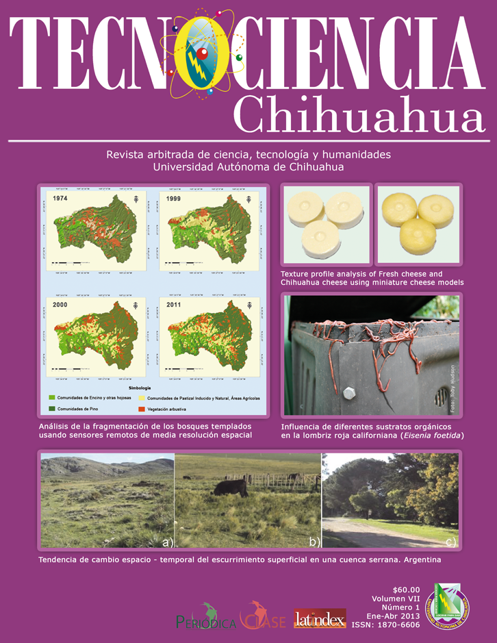
Análisis de la fragmentación de los bosques templados usando sensores remotos de media resolución espacial en Pueblo Nuevo, Durango
Analysis of temperate forest fragmentation using spatial medium-resolution remote sensing in Pueblo Nuevo, Durango
DOI:
https://doi.org/10.54167/tch.v7i2.663Palabras clave:
fragmentación, sensores remotos, Landsat TM, índices de diversidad, matriz de error, bosques templadosResumen
Los seres humanos han alterado sustancialmente la superficie, el patrón y la composición de la vegetación natural mundial, esto causado por una cada vez más creciente intervención humana en los paisajes naturales. Los procesos de deforestación de los bosques han ocasionado una disminución de la capacidad productiva y biodiversidad, fragmentando dichos ecosistemas. El objetivo central de este trabajo de investigación fue evaluar el grado de fragmentación de una porción de bosques templados ubicados en una microcuenca. Se tomaron como base los datos de imágenes de satélite de los sensores MSS y TM, se emplearon clasificaciones supervisadas para determinar coberturas de los años 1974, 1990, 2000 y 2011; se determinó la tasa de cambio durante el periodo total, así como la anual. Se utilizaron los índices de fragmentación de Simpson y Shannon. Los principales resultados encontrados determinan una buena precisión en las clasificaciones generadas para los diferentes periodos consecutivos 1974, 1990, 2000 y 2011, con valores Khat de 87%, 83%, 81% y 77% respectivamente, lo que indica una continua deforestación de las áreas de pino, perdiéndose en el periodo evaluado un total de 8,216 ha. Los índices de Simpson y Shannon muestran una tendencia a aumentar conforme se vuelve más complejo el ecosistema. Las técnicas de sensores remotos asociados a los índices de fragmentación representan metodologías precisas para la evaluación de las áreas forestales.
Abstract
Humans have substantially altered the surface, pattern and the composition of the world natural vegetation; this is caused by increasing human intervention in natural landscapes. The deforestation of forests has caused a decline in the productive capacity and biodiversity, fragmenting these ecosystems. The objective of this research was to evaluate the degree of fragmentation of a portion located in a temperate forest watershed. The data were based on satellite images of MSS and TM sensors, supervised classifications were used to determine coverage for the years 1974, 1990, 2000 and 2011, it was determined the rate of change of period and annual. Simpson and Shannon indices of fragmentation were used. The main results determine a good accuracy in the rankings generated for different consecutive periods 1974, 1990, 2000 and 2011, Khat values of 87%, 83%, 81% and 77% respectively, indicating continued deforestation of the pine areas, a total of 8,216 ha were lost in the period under review. The Simpson and Shannon indices show a tendency to increase as it becomes more complex the ecosystem. Remote sensing techniques associated with fragmentation indices represent accurate methodologies for evaluating forest areas.
Keywords: fragmentation, remote sensing, Landsat TM, diversity index, error matrix, temperate forests.
Descargas
Citas
Buiten, H.J. 1993. General view of remote sensing as source of information. En Land Observation by remote Sensing: theory and applications. Current topics in remote sensing, Vol. 3. (pp. 9-27). Gordon and Breach Science Publisher.
Carleer. A. & E. Wolff. 2004. Exploitation of very high-resolution satellite data for tree species identification. Photogrammetric Engineering & Remote Sensing 70: 135-140. https://tinyurl.com/4dmvsbub
Chuvieco, E. 2002. Teledetección ambiental. La observación de la tierra desde el espacio. Editorial Ariel. ISBN 8434480476.
Cohen, W. B., M. Fiorella., J. Gray., E. Helmer & K. Anderson. 1998. An efficient and accurate method for mapping forest clearcuts in the Pacific Northwest using Landsat imagery. Photogrammetric Engineering & Remote Sensing 64:293-300. https://tinyurl.com/yr3waykf
Everitt, J, H., C. Yang, R.S. Fletcher & D.L. Drawe. 2006. Evalution of high-resolution satellite imagery for assensing rangeland resourses in South Texas. Rangeland Ecology & Management 59(1):30-37. https://doi.org/10.2111/04-093.1
Franklin, S. E., D. R. Connery & J. A. Williams. 1994. Classification of alpine vegetation using Landsat Thematic Mapper, SPOT HRV and DEM data. Canadian Journal of Remote Sensing 20: 49-56.
Lillesand, T., R.W. Keifer & J.W. Chipman. 2000. Remote Sensing and Image Interpretation. John Wiley & Sons.
Lunetta, R.S., R.G. Congalton, L.K. Fenstermaker, R.J. Jensen, K.C. McGwire & L.R. Tinney.1991. Remote sensing and geographic information system data integration: Error sources and research issues. Photogrammetric Engineering &Remote Sensing 57(6):677-687. https://tinyurl.com/2p9aatpv
Mas, J. F. & C. J. Sandoval. 2000. Análisis de la fragmentación del paisaje en el area protegida Los Petenes, Campeche, Méx. Investigaciones Geográficas (Mx) 43: 42-59. https://www.redalyc.org/articulo.oa?id=56904303
Mcgarigal, K. & B. Marks. 1995. Fragstats: spatial pattern analysis program for quantifying landscape structure. Pacific Northwest Research Station. https://doi.org/10.2737/PNW-GTR-351
Miller A.B, E.S. Bryant & R.W. Birnie. 1998. An analysis of land cover changes in the Northern Forest of New England using multitemporal Landsat MSS data. International Journal of Remote Sensing 19(2):245-265. https://doi.org/10.1080/014311698216233
Pinedo, A. 2008. Modelación de atributos de bosques templados con Landsat-TM y SPOT-HRV e índice de sitio como indicador de productividad. (Tesis Doctoral, Universidad Autónoma de Chihuahua).
Pinto, J. 2006. Evolución del paisaje y estado de conservación de la reserva forestal El Choré. Kempffiana 2(1):45-56. https://tinyurl.com/2d4m666r
Plourde, L. & R. G. Congalton. 2003. Sampling Method and Sample Placement: How Do They Affect the Accuracy of Remotely Sensed Maps? Photogrammetric Engineering & Remote Sensing 69(3):289-297. https://tinyurl.com/fu59ew3s
Rempel, R.S., D. Kaukinen & A.P. Carr. 2012. Patch Analyst and Patch Grid. Ontario Ministry of Natural Resources. Centre for Northern Forest Ecosystem Research.
Rodriguez E., C.S. Morris & J. E. Belz. 2006. A Global assessment of the SRTM performance. Programmetric Engineering & Remote Sensing 3(12):249-260. https://doi.org/10.14358/PERS.72.3.249
Segura, R. & G. Trincado. 2003. Cartografía digital de la reserva nacional Valdivia a partir de imágenes satelitales Landsat TM. Bosque 24(2):43-52. https://www.redalyc.org/articulo.oa?id=173114405005
Wynne, H.R., R.G. Oderwald., G.A. Reams & J.A. Scrivani. 2000. Optical remote sensing for forest area estimation. Journal of Forestry 98(5): 31-36. https://academic.oup.com/jof/article/98/5/31/4673320
Publicado
Cómo citar
-
Resumen190
-
PDF243
-
HTML86


