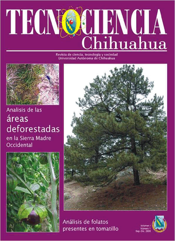
Análisis de áreas deforestadas en la región centro-norte de la Sierra Madre Occidental, Chihuahua, México
Analysis of deforested areas in the north central region of the Sierra Madre Occidental, Chihuahua, Mexico
DOI:
https://doi.org/10.54167/tecnociencia.v1i1.35Keywords:
Deforestation, change in the use of land, LANDSAT-TM, multiespectral classificationAbstract
The natural resources are under constant use, with an ever increasing demand of its products and needs, therefore it is a must to count with updated information on the conditions and possible changes in soil and vegetation due to their utilization in forest areas. The satellite images turn out to be important tools for generating maps that detail the degraded areas associated with timber activities. The general objective of this study was to quantify the current deforestation in the central region of the mountain formation range on the state of Chihuahua, Mexico, in relation with the deforestation rates reported by the National Forest Inventory in the year 2000. There were two specific objectives: one, to examine the relation of the spectral data the LANDSAT- TM5 and LANDSAT-TM7 sensor from different years, with the aerial cover data to detect changes in the forest stands; and the second, to detect changes in the forest cover through the analysis of the main components. Information obtained from LANDSAT TM5 and TM7 of 1993 and 2003 bands respectively was used to carry this out from a spatial and temporal point of view analysis of the deforested areas. The main component analysis was used to detect space and temporal changes. A visual analysis of the first three components was used in the quantitative analysis. The temporal comparison of the classified images represents a good alternative to identify changes in the forest cover. From about 88,842 ha of deforested areas reported by the National Forest Inventory in the year 2000, 35.2 % (31,275 ha) of them were overestimated as showed by this study. The annual deforestation rates range from 1.9 to 2.7 % in Basogachi and San Juanito, respectively. The obtained polygons from timbered areas are big, with rapid changes in the soil and vegetation use. In most cases these changes are severe and occur in a relatively short period of time.
Downloads
References
Anderson G.L., J. D. Hanson & R.H. Haas. 1993. Evaluation LANDSAT TM derived vegetation indices for estimating above-grown biomass on semiarid rangeland. Range Management 45(2):165-175. https://doi.org/10.1016/0034-4257(93)90040-5
Buiten, H.J. 1993. General view of remote sensing as a source of information. En Land Observation by Remote Sensing. Vol. 3 (pp. 9- 27). Gordon and Breach Science Publisher. ISBN: 288124940X, 9782881249402
Comisión Nacional Forestal. 2002. Inventario Nacional Forestal. Versión preliminar s/p.
DeGloria, S.D. 1984. Spectral variability of Lansat-4 Thematic Mapper and Multispectral Scanner data for selected crop and forest cover types. IEEE. Trans. Geosc. Remote Sens. 22(3):303-306. https://ieeexplore.ieee.org/document/4157513
De Jong, B.H.J. & G. Montoya-Gómez. 1994. Sustainable management of forest resources: a proposal for the highlands of Chiapas, Mexico. En Proceedings or the 1994 Symposium on System Analysis in Forest Resources, 6-9 September 1994, California (pp.7-17). https://biblioteca.ecosur.mx/cgi-bin/koha/opac-detail.pl?biblionumber=000019253
Everitt, J.H., C. Yang, R.S. Fletcher & D.L. Drawe. 2006. Evaluation of high-resolution satellite imagery for assessing rangeland resources in South Texas. Rangeland Ecol. Manage. 59(1):30-37. https://doi.org/10.2111/04-093.1
Francois, J. 1999. Aplicación de Imágenes de Satélite para Análisis de Recursos Forestales Deforestación y Fragmentación Forestal en la región de la Laguna de Términos, Campeche: un análisis del período1974-91. Centro EPOMEX-Universidad Autónoma de Campeche.
Greenlee, C.J. 1993. Spatial characteristics of Montane Forest communities in the Organ Mountains, New Mexico, using remote sensing and GIS technology (Tesis, New Mexico State University).
INEGI. 1984. Modelos Digitales de Elevación Escala 1:50,000. 2a. reimpresión. Instituto Nacional de Estadística, Geografía e Informática. https://www.inegi.org.mx/programas/topografia/50000/
Mas, J.F. 1997. Monitoring Land-cover Changes in the Terminos Lagoon Region, Mexico: A Comparison of Change Detection Techniques. En Proceeding of the IV International Conference on Remote Sensing for Marine and Coastal Environments, Orlando, Florida, 17-19 March 1997, Vol. I (pp 159-167).
Masera, O., M.J. Ordoñes & R. Dirzo . 1992. Carbon Emissions and Sequestration in Forests: Case Studies from Seven Developing Countries. Volume I: Summary, In: Makundi W. y Sathaye J. (series eds.), Report # LBL-32119, Energy and Environment Division, Lawrence Berkeley Laboratory- U.S. Environmental Protection Agency (EPA). http://bit.ly/3kOrziM
Pinedo, A.C. 1998. Análisis de los recursos forestales y del hábitat de la cotorra serrana (Rhynchopsitta pachyrhyncha) en la Sierra Madre Occidental de Chihuahua, México (Disertación doctoral. Universidad Autónoma de Chihuahua).
Prieto, T.A. 2002. Clasificación de la vegetación en Babícora, Chihuahua, México, usando datos de IKONOS y LANDSAT TM (Tesis. Universidad Autónoma de Chihuahua).
Secretaría de Agricultura y Recursos Hidráulicos. 1994. Inventario Forestal Nacional Periódico-México 94, Memoria Nacional. Subsecretaria Forestal y de Fauna Silvestre-Secretaría de Agricultura y Recursos Hidráulicos.
Weber, T.K. 2005. Challenges of integrating geospatial technologies into rangeland research and management. Rangeland Ecol. Manage 59(1):38-43. https://repository.arizona.edu/handle/10150/643402