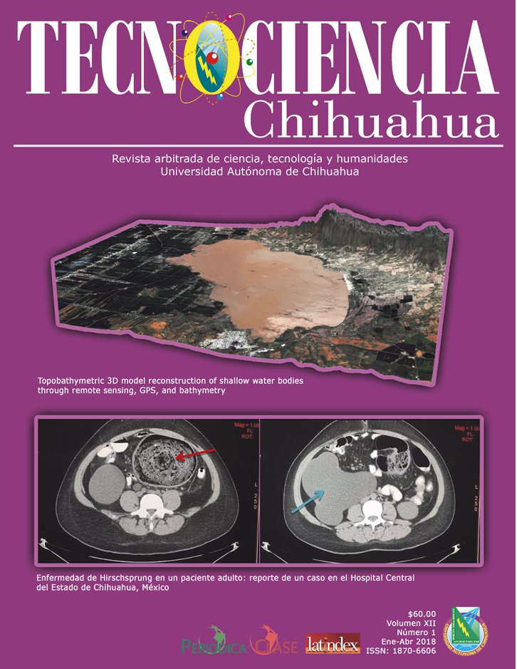
Topobathymetric 3D model reconstruction of shallow water bodies through remote sensing, GPS, and bathymetry
Reconstrucción de modelo 3D topobatimétrico de cuerpos de agua someros mediante teledetección, GPS y batimetría
DOI:
https://doi.org/10.54167/tch.v12i1.129Keywords:
MDE, almacenamiento, lago, MNDWI, RTK, sonarAbstract
Ante la inexistencia de modelos matemáticos que calculan el almacenamiento de agua de Laguna de Bustillos, el balance hídrico requiere este dato para comprender la conectividad entre este cuerpo de agua y el acuífero Cuauhtémoc. Este artículo presenta una nueva técnica de reconstrucción tridimensional basada en series de tiempo de imágenes de sensores remotos multiespectrales, batimetría, levantamiento topográfico con GPS de alta precisión y curvas de nivel regionales. Con las imágenes de Landsat ETM +/OLI y Sentinel 2A de 2012 a 2013, 2016 y 2017, se extrajeron los contornos de la superficie del agua utilizando el MNDWI y se asociaron con una elevación obtenida a través del GPS. Se utilizó un Vehículo Autónomo de Superficie para obtener la batimetría del lago. Se realizó un levantamiento topográfico usando GPS en áreas pobladas y se usaron las curvas de nivel extraídas del Modelo 3.0 de Elevaciones Continuas del INEGI. Se construyó un MDE, las superficies y volúmenes se calcularon a diferentes elevaciones y se compararon con 16 imágenes multiespectrales Landsat TM/ ETM+/OLI de 1999 al 2018. Los resultados mostraron que la media del área promedio de intersección del modelo y las imágenes tiene una eficiencia superior al 90,9 % de acuerdo con el IC, precisión general kappa 95.2-99.7 % y un coeficiente 89.9-99.3 %. Este modelo demostró ser muy preciso en escala regional, sobre todo cuando el espejo del agua supera los 1971.32 metros sobre el nivel medio del mar, y a la vez útil para la evaluación y administración de los recursos hídricos.
Downloads
References
Brooks, K.N., P.F. Ffolliott, & J.A. Magner 2012. Hydrology and the Management of Watersheds. John Wiley & Sons. ISBN 9781118459751. https://doi.org/10.1002/9781118459751
Card, D.H. 1982. Using known map category marginal frequencies to improve estimates of thematic map accuracy. Photogramm. Eng. Remote Sens 48(3): 431–439. https://tinyurl.com/38fdnut5
Chavez, P.S. 1996. Image-based atmospheric corrections-revisited and improved. Photogramm. Eng. Remote Sens 62(9): 1025–1035. https://tinyurl.com/3n6vm9yv
Comisión Nacional del Agua. 2016. Estadísticas del agua en México. Secretaría de Medio Ambiente y Recursos Naturales. https://agua.org.mx/biblioteca/estadisticas-del-agua-en-mexico-edicion-2016/
Congalton, R.G. & K. Green. 2008. Assessing the accuracy of remotely sensed data: principles and practices Second Edition. CRC press. ISBN 9780429143977. https://doi.org/10.1201/9781420055139
Congedo, L. 2014. Semi-automatic classification plugin for QGIS. https://plugins.qgis.org/plugins/SemiAutomaticClassificationPlugin/
Dowdy, S., S. Wearden & D. Chilko. 2011. Statistics for Research. John Wiley & Sons. ISBN 0471477427, 9780471477426.
Eltert, J.F. & J.E. Molyneux. 1972. The long-distance propagation of shallow water waves over an ocean of random depth. J. Fluid Mech 53(1):1–15. https://doi.org/10.1017/S0022112072000011
Erdös, P. & A. Rényi. 1959. On the central limit theorem for samples from a finite population. Publ Math Inst Hung. Acad Sci 4: 49–61.
ESA. 2017. Copernicus Open Access Hub. https://scihub.copernicus.eu/
Gesch, D.B., J.C. Brock, C.E. Parrish, J.N. Rogers & C.W. Wright. 2016. Introduction: Special Issue on Advances in Topobathymetric Mapping, Models, and Applications. J. Coast. Res 76:1–3. https://doi.org/10.2112/SI76-001
Giordano, F., G. Mattei, C. Parente, F. Peluso & R. Santamaria. 2015. MicroVeGA (micro vessel for geodetics application): A marine drone for the acquisition of bathymetric data for GIS applications. Int. Arch. Photogramm. Remote Sens. Spat. Inf. Sci. XL-5/W5:123-130. http://dx.doi.org/10.5194/isprsarchives-XL-5-W5-123-2015
Hanjianga, X., T. Limina & S. Longa. 2008. A strategy to build a seamless multi-scale TIN-DEM database. Int. Arch. Photogramm. Remote Sens. Spat. Inf. Sci. 37(Part B4):83-86. https://www.isprs.org/proceedings/XXXVII/congress/4_pdf/16.pdf
Hutchinson, M.F., T. Xu & J.A. Stein. 2011. Recent progress in the ANUDEM elevation gridding procedure. Geomorphology. http://hdl.handle.net/1885/63173
Instituto Nacional de Estadística y Geografía. 2016. Continuo de Elevaciones Mexicano 3.0 (CEM 3.0). INEGI.
Instituto Nacional de Estadística y Geografía. 2015. El geoide gravimétrico mexicano 2010. INEGI. https://www.inegi.org.mx/app/biblioteca/ficha.html?upc=702825073374
Isiorho, S.A., G. Matisoff & K. When. 1996. Seepage relationships between Lake Chad and the Chad aquifers. Groundwater 34(5):819–826. https://doi.org/10.1111/j.1745-6584.1996.tb02076.x
Jensen, J.R. 2007. Remote Sensing of the Environment: An Earth Resource Perspective Second Edition. Pearson Education. ISBN 0131889508, 9780131889507.
Johnson, B.A., R. Tateishi & N.T. Hoan. 2012. Satellite image pansharpening using a hybrid approach for object-based image analysis. ISPRS Int. J. Geo-Inf 1(3): 228–241. https://doi.org/10.3390/ijgi1030228
Knott, S.T. & J.B. Hersey. 1957. Interpretation of high-resolution echo-sounding techniques and their use in bathymetry, marine geophysics, and biology. Deep Sea Res 4(1957-1958):36–44. https://doi.org/10.1016/0146-6313(56)90030-2
Kottek, M., J. Grieser, C., Beck, B., Rudolf & F. Rubel. 2006. World map of the Köppen-Geiger climate classification updated. Meteorol. Z. 15:259–263. http://dx.doi.org/10.1127/0941-2948/2006/0130
Krause, D. & H. Menard. 1965. Depth distribution and bathymetric classification of some sea-floor profiles. Mar. Geol. 3(3):169–193. https://doi.org/10.1016/0025-3227(65)90030-7
Leon, J.X. & T. Cohen. 2012. An improved bathymetric model for the modern and palaeo Lake Eyre. Geomorphology 173-174:69–79. https://doi.org/10.1016/j.geomorph.2012.05.029
Lillesand, T., R.W. Kiefer & J. Chipman. 2015. Remote sensing and image interpretation 7th Edition. John Wiley & Sons. ISBN 9781118343289.
Lu, S., N. Ouyang, B. Wu, Y. Wei & Z. Tesemma. 2013. Lake water volume calculation with time series remote-sensing images. Int. J. Remote Sens. 34(22):7962–7973. https://doi.org/10.1080/01431161.2013.827814
Ma, M., X. Wang, F. Veroustraete & L. Dong. 2007. Change in area of Ebinur Lake during the 1998–2005 period. Int. J. Remote Sens. 28(24):5523–5533. https://doi.org/10.1080/01431160601009698
McFeeters, S.K. 1996. The use of the Normalized Difference Water Index (NDWI) in the delineation of open water features. Int. J. Remote Sens. 17(7):1425–1432. https://doi.org/10.1080/01431169608948714
McPherson, K.R., L.A. Freeman & L.E. Flint. 2011. Analysis of methods to determine storage capacity of, and sedimentation in, Loch Lomond Reservoir, Santa Cruz County, California, 2009. Scientific Investigations Report No. 2011–5141. U.S. Geological Survey. https://doi.org/10.3133/sir20115141
Mi, H., J. Zai & X. Jiang. 2007. Contrast and Analysis of Reservoir Storage Calculation Methods. Faculty of Land Resource Engineering. Kumming University of Science and Technology.
NASA. 2017. History Landsat Science. https://landsat.gsfc.nasa.gov/about/history/
Popielarczyk, D. & T. Templin. 2014. Application of integrated GNSS/hydroacoustic measurements and GIS geodatabase models for bottom analysis of Lake Hancza: the deepest inland reservoir in Poland. Pure Appl. Geophys. 171:997–1011. https://doi.org/10.1007/s00024-013-0683-9
QGIS Development Team. 2018. QGIS Geographic Information System. Open Source Geospatial Foundation Project. http://qgis.osgeo.org
Rana, H. & N. Neeru. 2017. Water Detection using Satellite Images Obtained through Remote Sensing. Adv. Comput. Sci. Technol. 10(6):1923-1940. https://www.ripublication.com/acst17/acstv10n6_37.pdf
Rojas, H.L., L.C. Alatorre, B. Stringam & Z. Samani. 2016. Topobathymetric 3D model of a shallow lagoon measured by a solar powered low-cost autonomous surface vehicle prototype in Cuauhtémoc, Chihuahua, Mexico. New Mexico Water Resources Research Institute.
Ruddick, K.G., V. De Cauwer, Y.J. Park & G. Moore. 2006. Seaborne measurements of near infrared water-leaving reflectance: The similarity spectrum for turbid waters. Limnol Ocean. 51(2):1167-1179. https://doi.org/10.4319/lo.2006.51.2.1167
Schmitt, T., N.C. Mitchell & A.T.S. Ramsay. 2008. Characterizing uncertainties for quantifying bathymetry change between time-separated multibeam echo-sounder surveys. Cont. Shelf
Res. 28(9):1166–1176. https://doi.org/10.1016/j.csr.2008.03.001
Servicio Meteorológico Nacional. 2017. Información Climatológica (1981-2010).
USGS. 2017. LandsatLook Viewer. https://landsatlook.usgs.gov/
USGS. 2017. SLC-off Products: Background | Landsat Missions.
Winter, T.C. 1999. Relation of streams, lakes, and wetlands to groundwater flow systems. Hydrogeol. J. 7:28–45. https://doi.org/10.1007/s100400050178
Xu, H. 2006. Modification of normalized difference water index (NDWI) to enhance open water features in remotely sensed imagery. Int. J. Remote Sens. 27(14):3025–3033. https://doi.org/10.1080/01431160600589179